Wyoming At Last
After the better part of a week spent cruising around Rapid, I was itching to head west again. I’ve never seen the Rocky Mountains before and one of my major trip goals is to spend a lot of time exploring them from Utah up through Idaho. So I was pretty excited when I finally saddled up and set out towards Wyoming on rt 16.
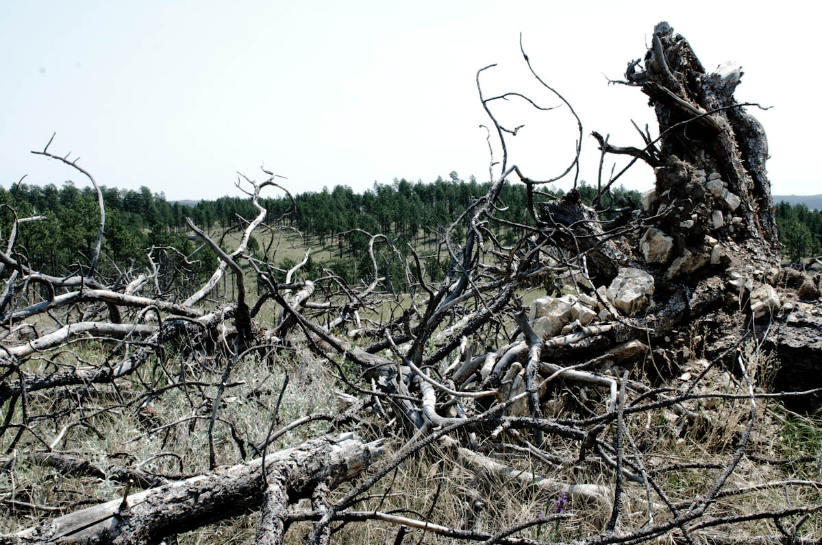
First I had about 70 miles to cover through the Black Hills, which was more or less familiar territory at this point. What I didn’t expect as I rolled towards the “Forever West” state were the acres upon acres of desolate hilltops ravaged by the Jasper Fire of 2000. One carelessly dropped match had torched 83,500 acres of forest and left the hills as wide open expanses of gentle grass dotted with the matchstick trunks of trees that refused to burn to the ground. It was an eerie sight after being among the dense ponderosa pines of the previous 50 miles.
The road into Wyoming is a sweeping descent from the Black Hills that opens up a vista of rolling red hills and pasturelands. I let loose the throttle and roared down the slope with a smile on my face at the prospect of crossing fresh pavement into the mountains, feeling like I was in one of those boyhood Wild West fantasies. That lasted just long enough to get to the first cattle farm, where the stench that hung over the road actually made me gag.
From there the hills fell away like a mirage and the land flattened out into an endless stretch of high plains broken only by wire fences and the occasional bump of a small mesa. Unlike the gentle flow of the grasslands in South Dakota, the yellow vegetation in southeastern Wyoming was scraggly and actually looked a lot like the deserts of New Mexico. The towns were small and almost empty. They often seemed to have more rusting trucks from the 1930’s strewn around than actual inhabitants.
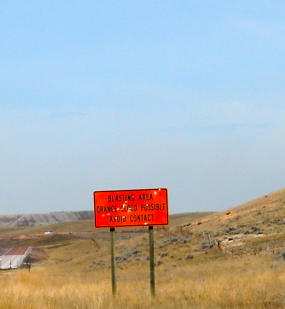
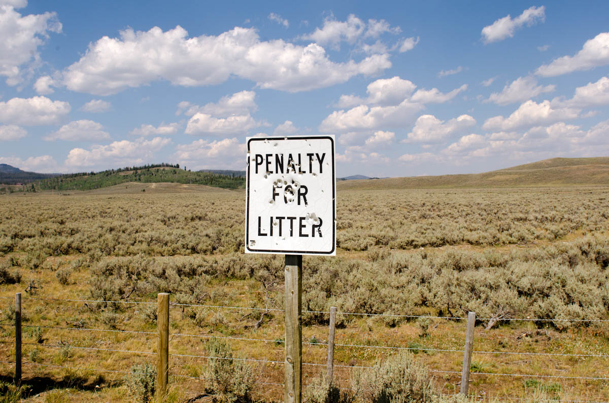
Wyoming is coal country. Midway into my ride, the land around consolidated several different railroad lines and pulled them along the highway towards what looked like a giant grain silo on the horizon. As I got closer, I passed one of my favorite signs of the whole trip:
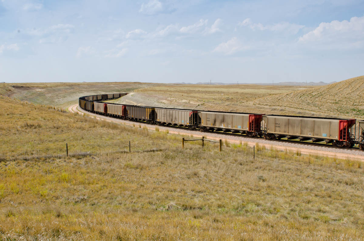
I had come up on Arch Coal’s Black Thunder/Jacobs Mine complex, the largest surface coal mine in the world. To the left of the road, dump trucks that had looked like toys on the horizon became behemoths many stories high. To the right, a mile long conveyer belt fed coal into the loading silo which dumped it into mile long trains headed to power plants around the country.
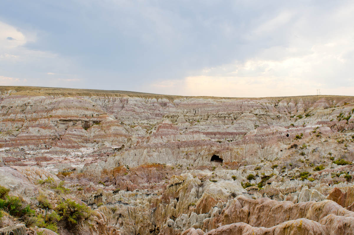
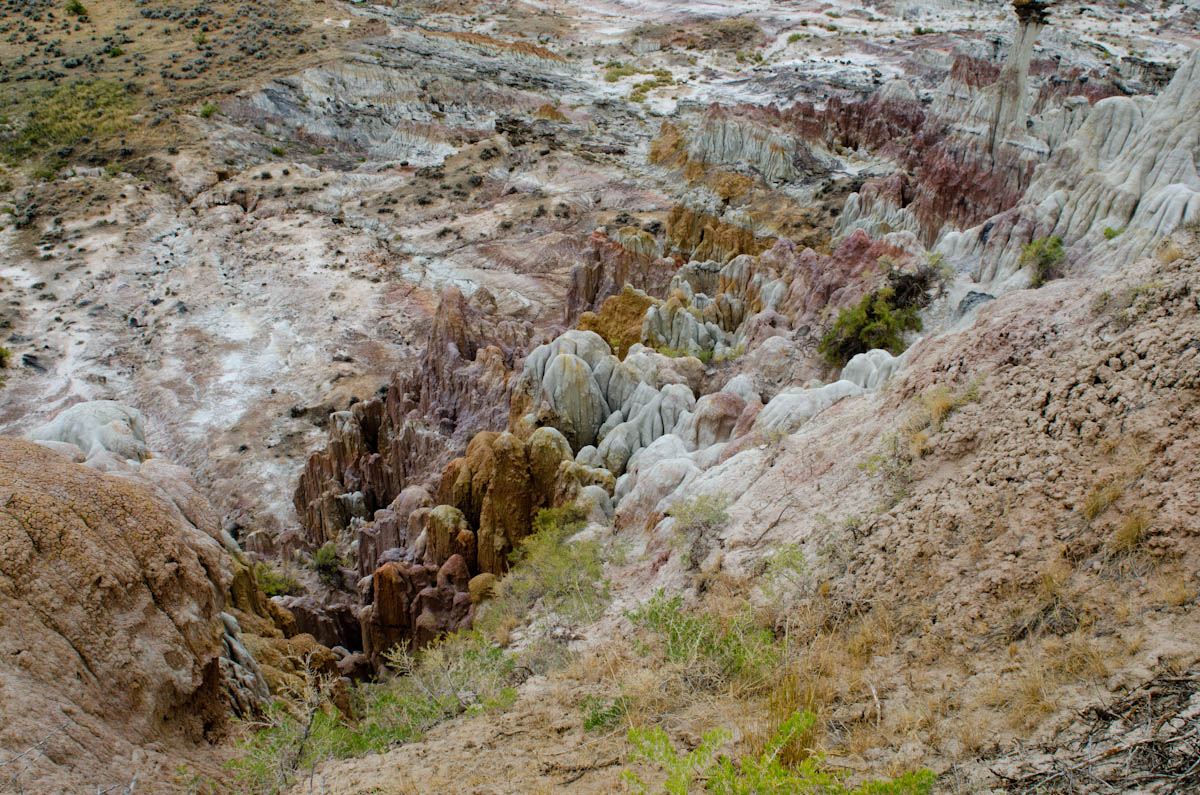
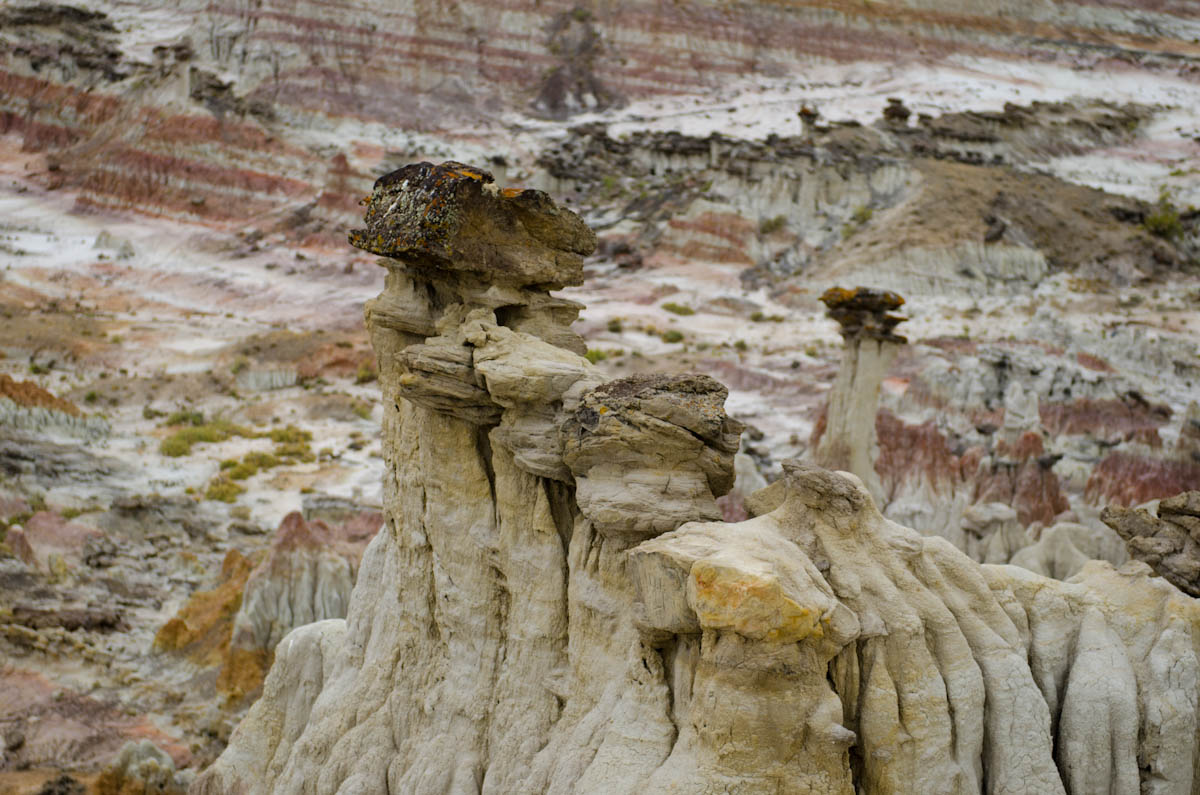
I rolled into Casper, WY on the heels of another storm, passing signs saying things like “We [heart] coal miners”. The damp road smelled, oddly enough, like oatmeal. Miles further on, I stopped off at a little patch of earth called “Hell’s Half-Acre”. The strange rock canyons looked a lot like the acid-etched Badlands. It was also an archaeological gold mine, since the Native Americans used to drive whole herds of buffalo off the cliffs there during their hunts.
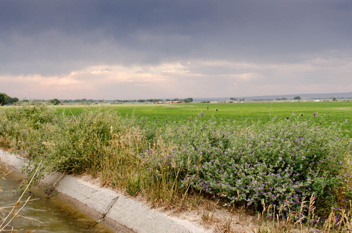
The last 116 miles towards Riverton, WY were pretty featureless and, frankly, not that interesting. I can find something to enjoy in almost every long road through open spaces in the country, but this time I was quite ready for the relentless heat and featureless landscape to end. When I came up on the Boysen Reservoir, it really startled me because I wasn’t expecting to see actual water amidst the dry plains and its slate grey color had blended into the surrounding hillside until the last minute. Shortly after that, though, the land greened into a pretty sort of oasis farmland and I pulled in for the night to a hotel in Riverton.
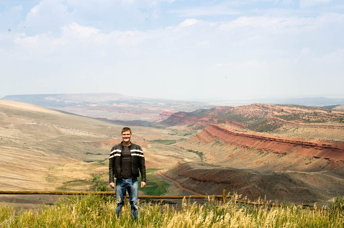
The next day definitely offered an improvement in scenery. I set out west on 28 past sparse towns before beginning my ascent into the Rockies foothills past the Red Canyon:
The long sweeping ascents continued until the air felt crisper and carried scents I hadn’t experienced since my last time alpine camping. During particularly steep climbs, my ears would pop into numbness and the chopping saw of the engine would echo out into the stillness like I was the only person for miles around.
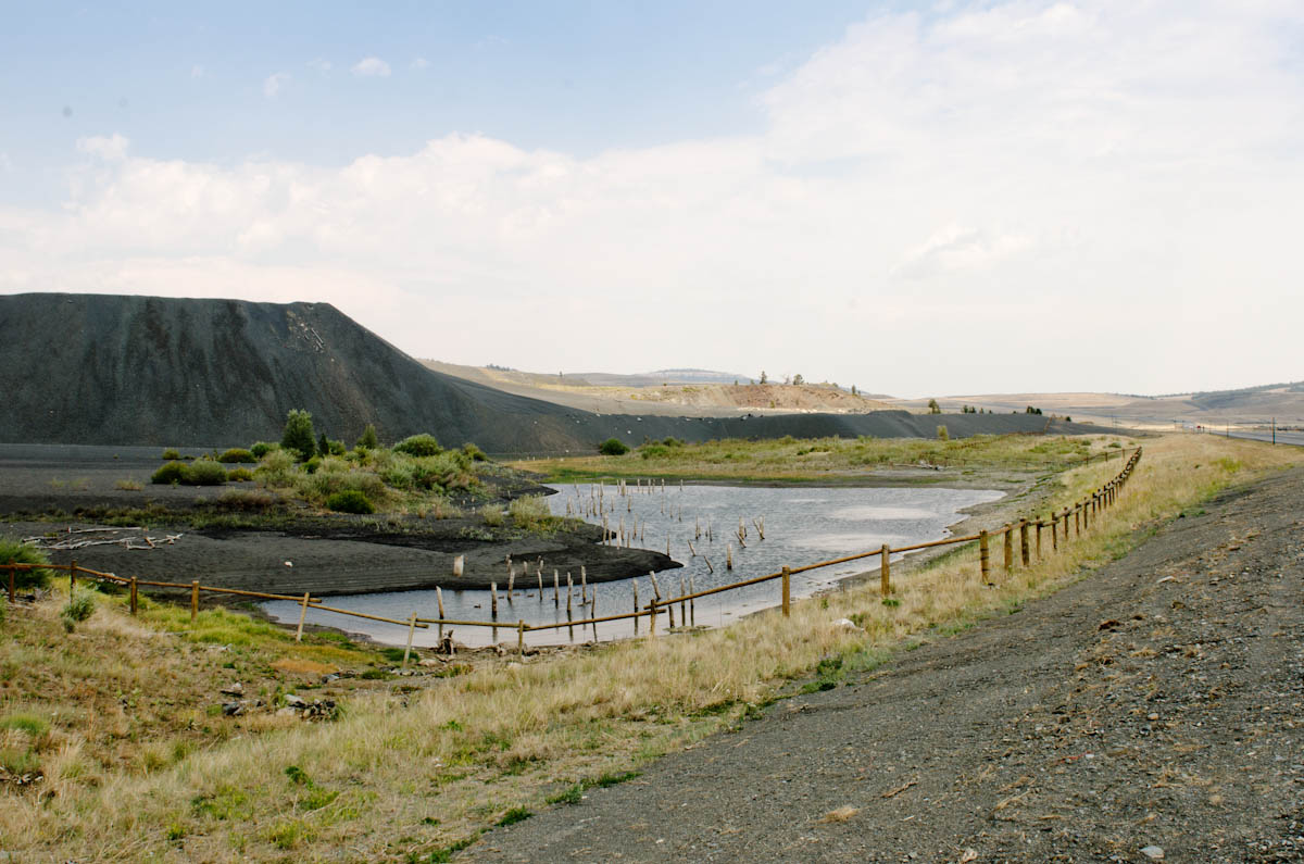
Atop one high plateau, I passed a couple of swampy ponds that had a man-made feel to them and soon happened upon several fifty foot high piles of gravel, apparently the remnants of the nation’s highest open pit iron mine (at 8,300′ and long ago shut down).
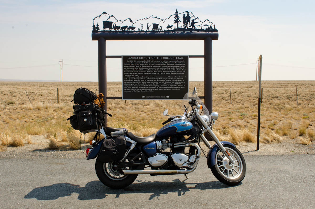
A short way beyond that I passed a marker for the Lander cut-off on the Oregon Trail, bringing back all kinds of warm nerdy memories of that old computer game.
Route 191 was a strange experience. The air was hazy enough (I’d later learn it was due to Idaho wildfires) that the flat high plains appeared to just disappear into the horizon all around. Given the sand by the road, the character of the vegetation, and the coolness of the air, I found myself slipping into the expectation that I was moments away from seeing the Pacific ocean pass into view. Then the ghost of a mountain would glide by at the edge of vision, shattering the impression.
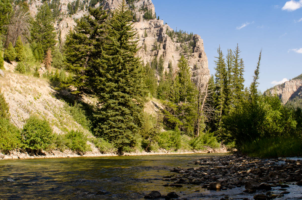
The mountains began to close in from both sides as I entered the more fertile Wind River Basin. I pushed west on 26 and eventually the mountains converged on the road at a place called Hoback Canyon, southwestern Wyoming’s gateway to the Rockies.
Ever since the Catskills, I’ve been nurturing a growing sense of anticipation for the Rocky Mountains. The hills of the northeast are pretty but never managed to really *wow* me. The appalachians in West Virginia and Tennessee are large and wild but still felt, well, manageable. I’ve been waiting to be blown away by something epic and untamed. I finally caught my first glimpse of that when I passed through the canyon.
The walls rose so sheer on each side that the naked rock thrust bare into the sky, unforgiving of any attempts for the pines to take hold. The late afternoon sun cast sharp shadows across the cliffs and glittered yellow on the river below. I breathed deeply and settled back in the seat for what would be an unforgettable ride through the images of classic paintings and epic tales.
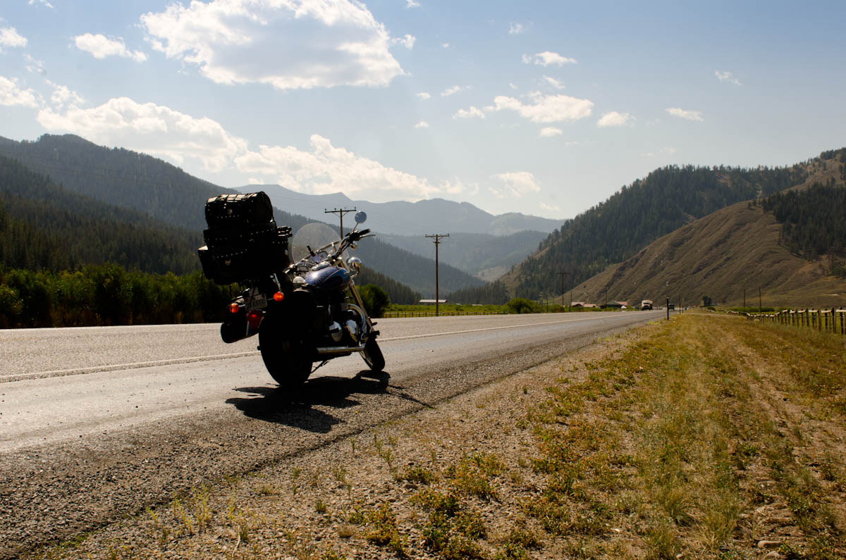
I could never catch the right picture either since I just couldn’t make myself stop when it was so perfect. All I got were a couple of okay shots early on.
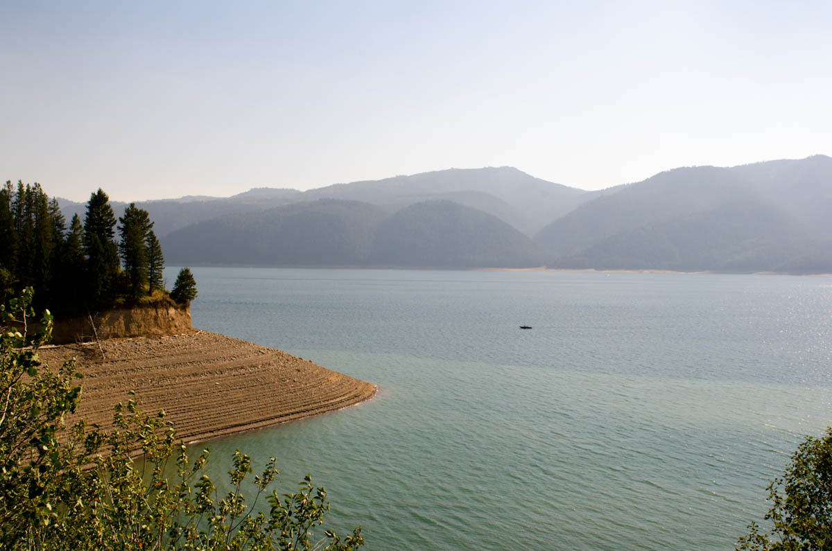
Once the canyon melted away, the road followed the Snake River into the Palisades Reservoir in Idaho. The walls were striated by the changes in the lake levels over the hydro year, making it look almost like an architectural site plan cut from foam core.
We spent the night camped in a teepee by the river, getting ready for the coming week. The itinerary was ambitious: ride through the Tetons, Yellowstone, up to Glacier National Park and back in a week with my girlfriend on the passenger seat. But I didn’t come all the way out here to waste time. The adventure continues.

