Zion National Park
Several years ago, when the seed of the idea for this kind of trip had just barely begun to germinate, I already knew that I had to find my way to Zion. It’s long held this sort of mystique as a hidden and mystical gem that people are more apt to describe with a shake of the head and a sigh than any particular turn of phrase. I would have been jittery and excited even had I not drank a 1/3 cup of coffee the morning I went to visit the park (a whole lot for me).
I awoke before dawn and hit the road, trying to get into the park and on the first shuttle bus from the visitor’s center at 7am. Zion rightly attracts millions of visitors a year. I’d pored over TripAdvisor looking for the best ways to experience it and one consistent piece of advice was to get there early to avoid the crowds.
The sun was just beginning to light the sky as I sped past burnt orange mesas with their stubble of hardy desert bushes on my way into the park. I didn’t quite make the first bus out of the visitor’s center but mine was mostly deserted anyway. I shared space with a small and quiet group of AM trail warriors, most still blinking sleep from their eyes (and a few smelling like they’d skipped the shower for a few days). The shuttle buses are the only way to get to the trailheads at Zion, and it was about a 40 minute ride through the canyon to reach my destination at the very end of the loop.
Even the shuttle ride was nothing short of awesome. While the speakers played an informative track about the park’s history and formation, we gazed up at the sheer canyon walls that shot up for thousands of feet on either side of the road and river. The orange-red cliffs were interrupted at irregular intervals by small plateaus that bursted with green vegetation, making the place feel like an endless hanging garden.
Zion is actually part of the same plateau of ancient sandstone, called the Grand Staircase, that thrusts upward for hundreds of miles across Utah and contains all the national parks from Bryce Canyon to the Grand Canyon. It was created by being, in turn, a vast ocean that split North America in two and a desert the size of the Sahara which accumulated and slowly pressed the sand into stone. Over millions of years, as the pacific Kula and Farallon tectonic plates dived under the North American plate, that layer of sandstone was pushed from sea level to over 8000 feet high. Over that time, though, the forces of wind and especially water have worn it away in varying amounts, leaving deep canyons, tall mesas, and all matter of strange rock formations in between. The same cross-sectional layers of sandstone can be found exposed in locations across the state, with Bryce Canyon showcasing the highest (and newest) layers and the Grand Canyon cutting through the deepest and oldest.
Zion is actually fairly similar in formation to the Grand Canyon, though much less spread out. It is basically a giant slot canyon, formed by the North Fork Virgin River, which trickles harmlessly by at a rather tame 50 cubic feet per second (cfs). This gentle flow, however, belies the violence of the flash floods which rip through the canyon as a result of nearby high desert and mountain rains. During those events the river can swell to over 50x its normal volume, pushing sand, trees, and even boulders down the canyon. Particularly during the summer monsoon, the afternoon rains can be unpredictable and flood the canyon as often as once a week. The road which hugs the riverbank gets completely washed out every decade or so.
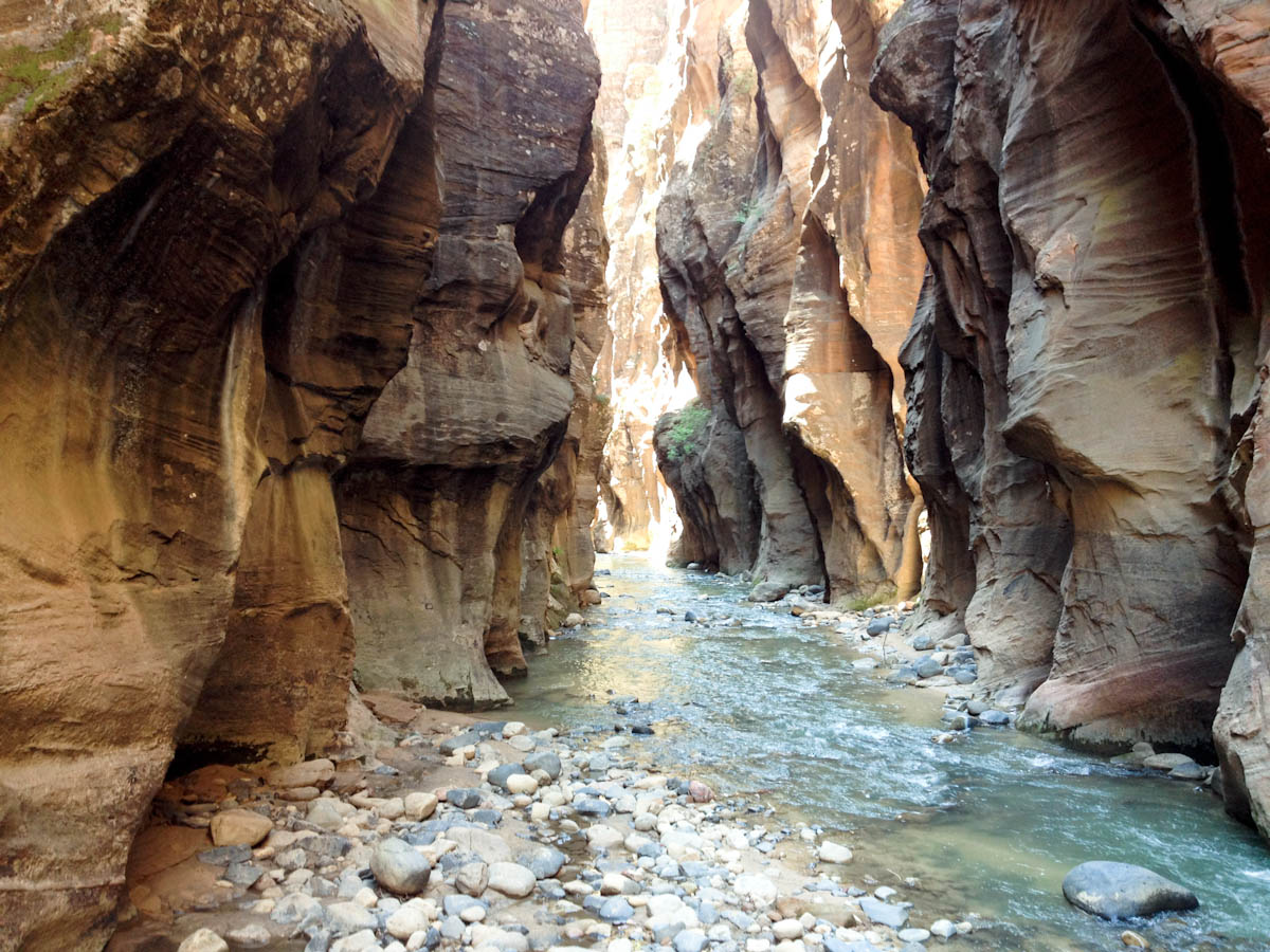
My first morning in Zion I chose to hike the Narrows. Some people opt to start at the very top and make the 16 mile trek downriver in two days but, due to time constraints, I started at the lower trailhead and made an 8-hour round trip up into the canyon instead. The Narrows had flash flooded just days before and the forecast was for another afternoon storm, so I was glad to be heading in early and fast. My right foot, which had suffered some strange sort of overuse injury in San Francisco, still wasn’t fully healed so I also wanted to be able to turn back if the pain became overwhelming.
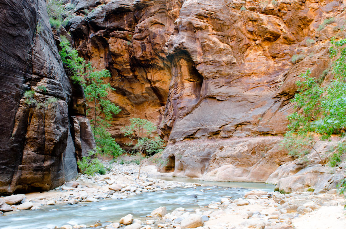
The first mile along the river traverses a well-paved pedestrian walkway, and that’s about as far as most people make it. The younger and more adventurous typically venture some way past the walkway’s terminus before eventually hitting some point that outmatches their chosen footwear or level of commitment. The early part of the canyon is enclosed by sheer walls but the prevalence of rock beds and sand bars to either side of the river are not terribly challenging.
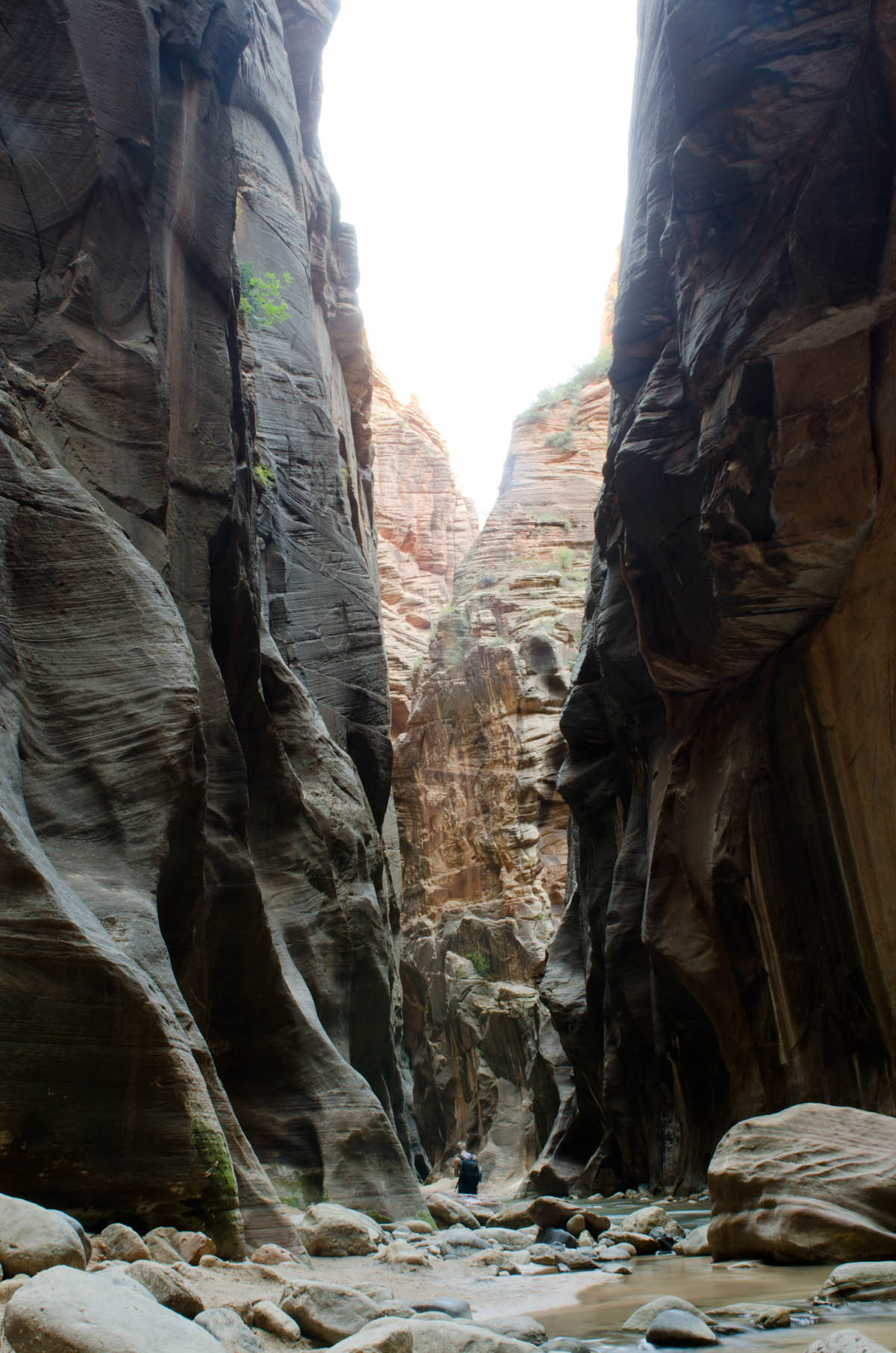
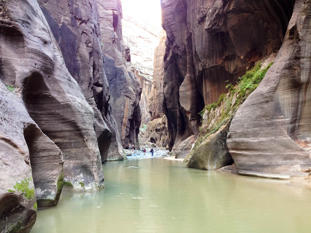
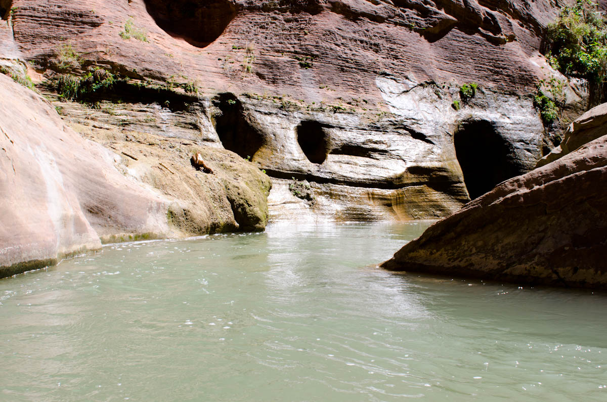
There were clouds overhead but, as I entered the Narrows, the sun was still low enough that it could be seen just peering over the east canyon wall and splashing against the opposite. Despite the deceptively easy beginning, as I traveled further the walls began to close in and there were less opportunities to stay dry. Eventually there was no choice but to enter the river.
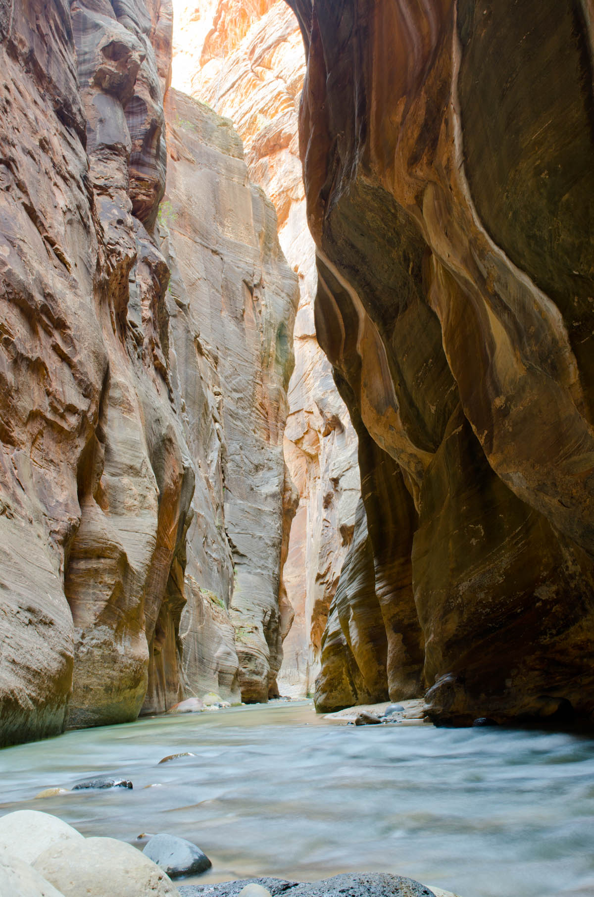
I had purchased some hiking poles, tightened up my boots, and waterproofed my camera, so I gleefully plunged into the thigh-deep water and began the long slough upriver. The hiking poles quickly became my best asset, as the slippery rocks and strong currents played havoc with any sort of balance or stability when crossing from side to side to seek what dry ground could be found.
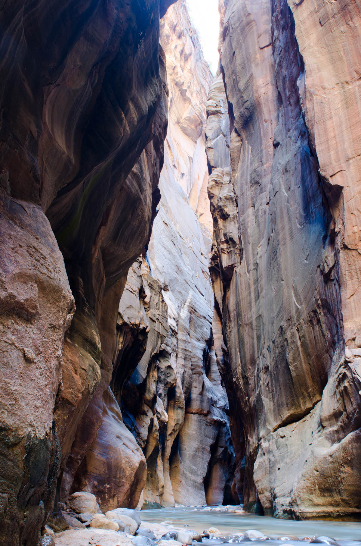
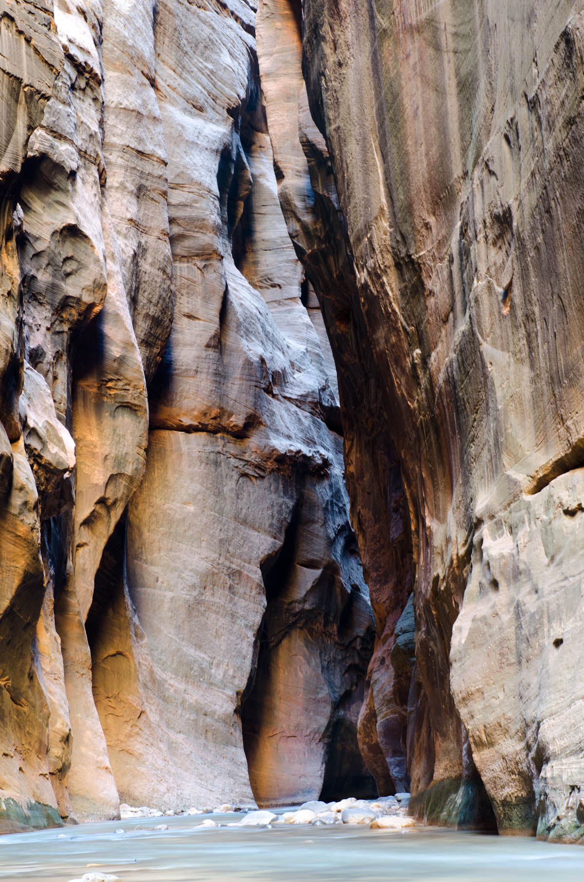
The canyon itself is astonishingly sheer and smooth. Where many other canyons I’ve seen are more or less funnel-shaped, Zion is about 20 feet wide at the bottom and not much more at the top. The river had carved a consistent and aggressive path through the Navajo sandstone, which picked up all sorts of enchanting tones as the light changed with the morning’s glow. My one disappointment with the hike was that the mostly cloudy light meant that I never got to see that postcard-perfect red-light-hits-smoothed-sandstone look that graces almost every postcard from there.
That said, the hike was challenging and exciting and different from anything I’ve done before. I’ve been canyoning and climbing and hiking in a lot of different settings but never actually waded my way up a river like that. There were certainly a few tricky moments, like when I misjudged the depth of the river as it flowed around a boulder and found myself swimming for the other side in water over my head.
I had more than a few stumbles as I navigated the rapids but the hiking poles were lifesavers and allowed me to continue on. I also think the cold water helped my foot, which didn’t really bother me for most of the journey. I lunched at a point where the canyon widened enough to let in sufficient light for trees to grow and water from a stream far above cascaded over leaves and moss. I hadn’t seen another hiker for over an hour so I soaked up the peace for a time amid the gentle roar of the river.
A part of me wanted to keep going upriver until I popped out the top and hitchhiked back but I knew there were storms brewing and better sense pushed me back downstream to where I’d started. That decision proved the value of leaving early — I passed first a trickle and then a veritable torrent of tourists who had chosen sleep over hiking in the morning’s solitude. I had to shake my head at all the “hey look, I’m in the river!” pictures from overweight Americans in flip-flops who huffed down the bank to spend thirty seconds “soaking up” the experience before escaping back to their shuttles.
I knew that one day wasn’t enough to experience Zion, so I decided to crash early at the park campsite and wake up for another dawn hike before my journey took me onwards to Bryce Canyon. I fell asleep rocking in my hammock and listening to the gentle tapping of drops against the rain fly. There’s something particularly elegant about desert rain. Raindrops falling through the dry heat are a delicate staccato and leave the air cooler but no more humid than before. When it is over, often in as little as ten minutes, there are typically few traces of its occurrence.
The next morning I again caught one of the first buses to the trailhead. Where the previous day I had traveled deep within the canyon, this time I was determined to get a birds-eye view of the park by finding my way up to Angel’s Point along what was billed as a very challenging trail.
The first section sloped gently upwards along the river before gradually getting steeper and steeper. It was paved and not terribly difficult but rose relentlessly higher as it crawled along the cliff face. After an hour or so of ascending, I reached a landing where the trail split. To one side, which was by far the more worn of the two, the trail escaped to a lookout that was reported as being “not too bad”. To the other, the path led onto the bare rock face and shot straight up along a ridge top to Angel’s Landing.
I hadn’t come as far as I did to suddenly develop common sense so I began the long scramble to the top. The trail almost immediately disappeared and was replaced by strategically placed rock cairns to mark the way forward. From then on, it was really more climbing than hiking. This time, I regretted bringing the hiking poles, as they conspired to trip me as often as possible while I was seeking stable footholds amidst the smooth sandstone.
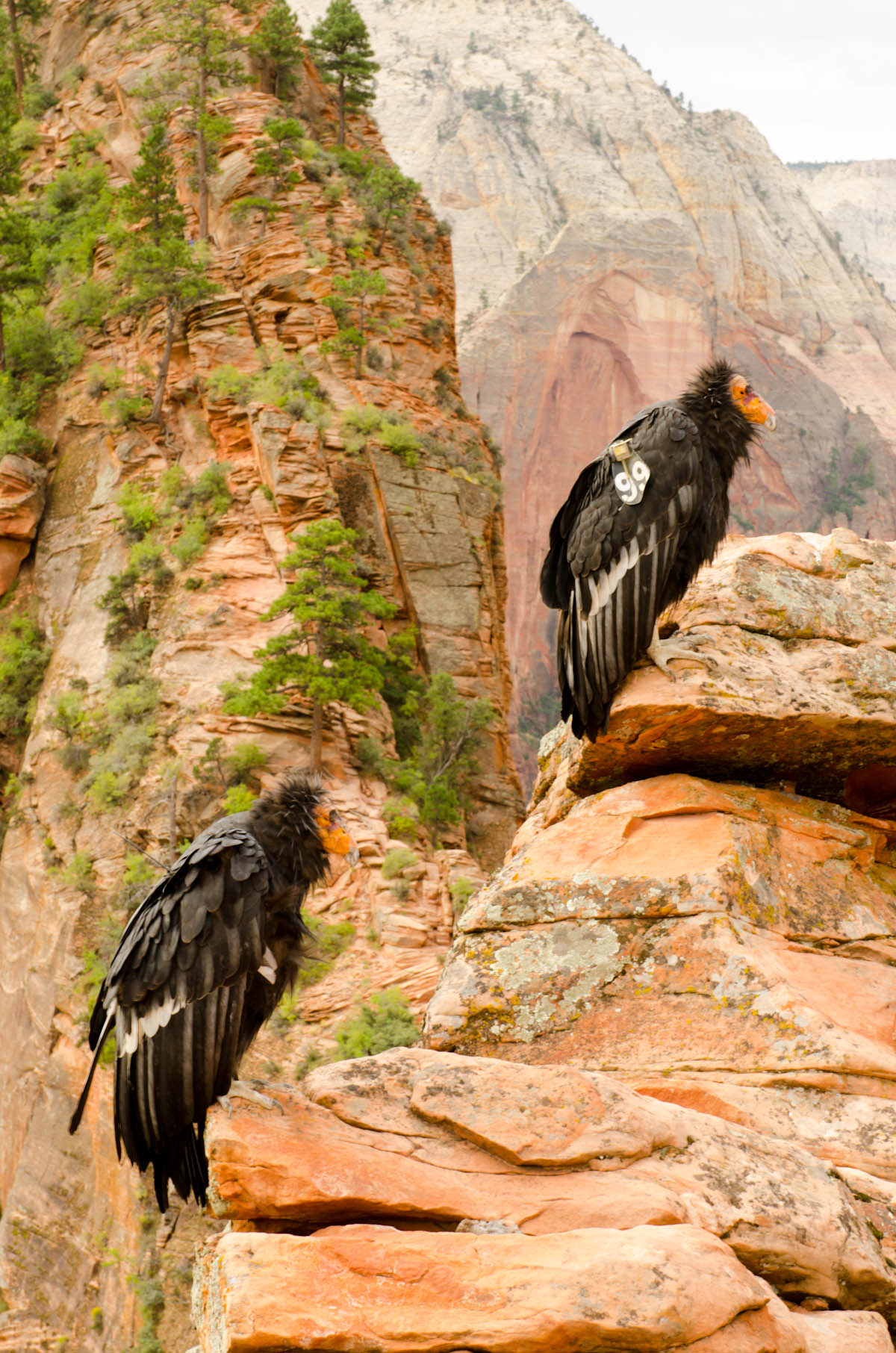
About twenty minutes in, I came upon the first few people I’d seen all day. They were huddled at a curve in the path and they pointed out the two California Condors, out of only about 200 alive in the wild, that were perched atop the ledge above. I climbed it for a better look. The condors couldn’t have cared less:
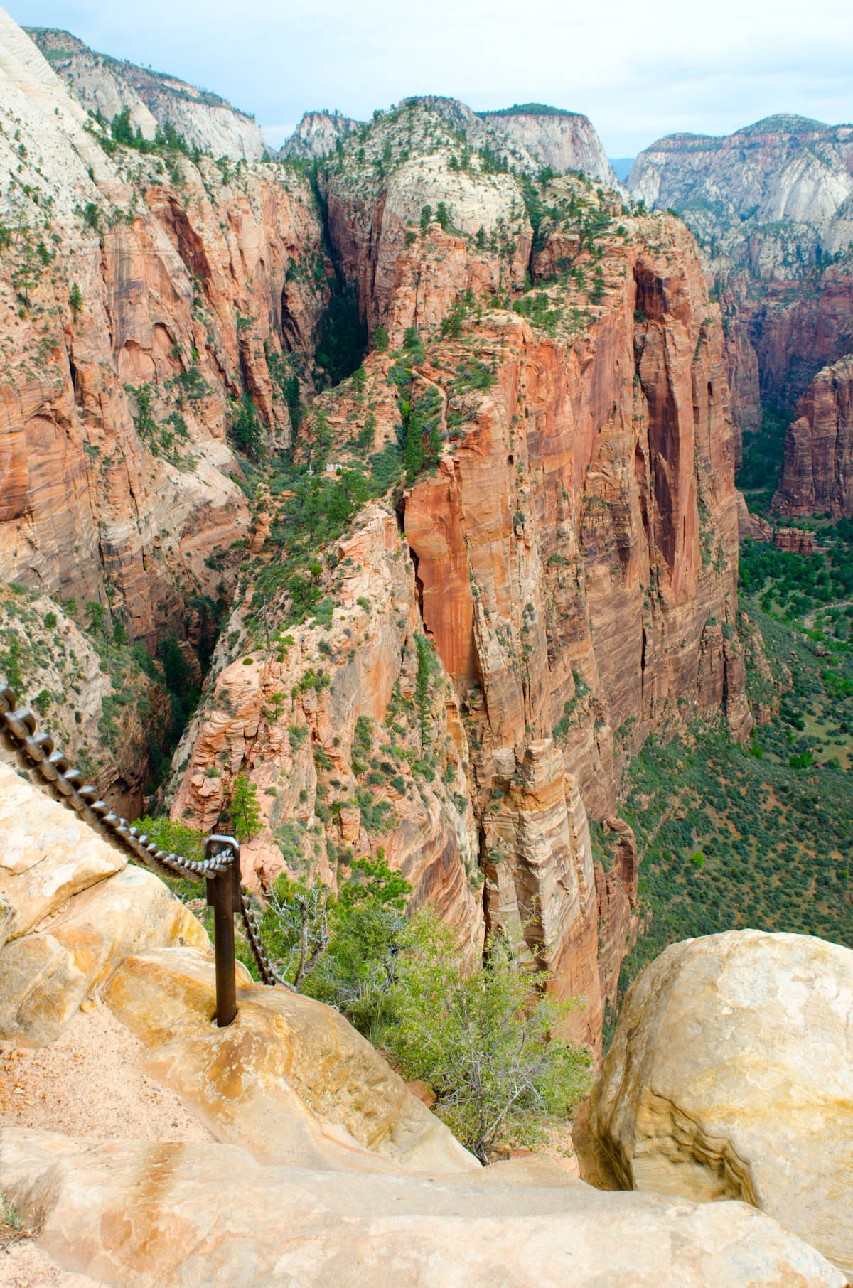
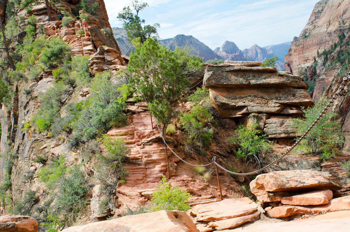
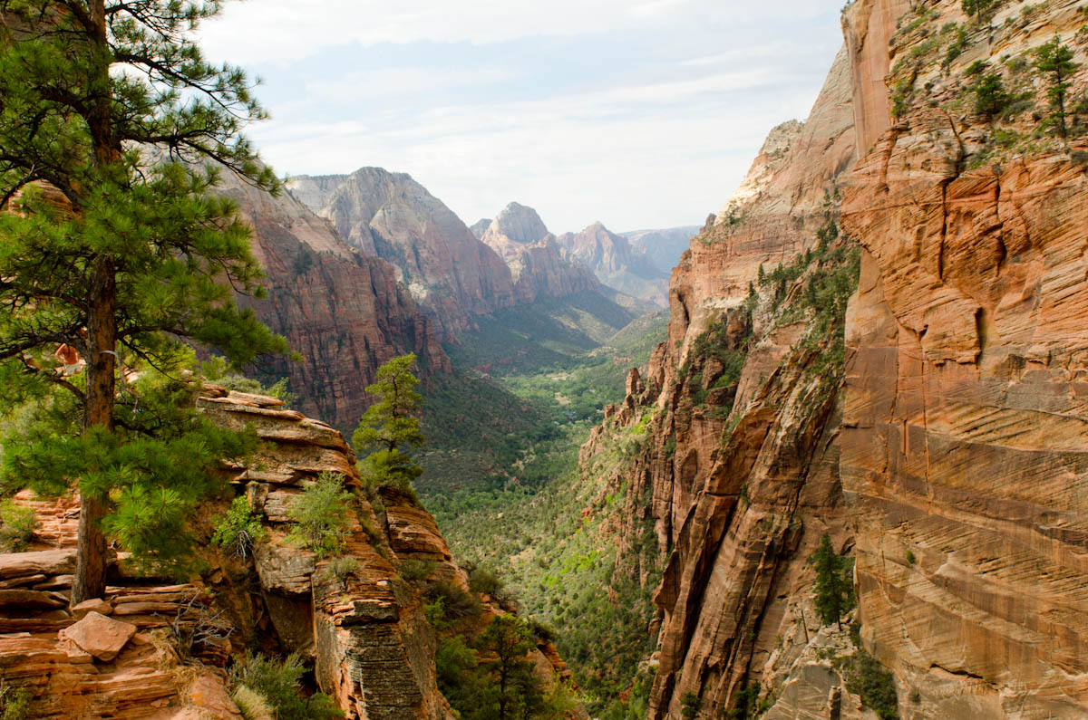
From then on, the climb was guided not by rock cairns but by the chains that were bolted into the cliff as some sort of suicide railings. I took a few pictures when the trail evened out enough to permit it:
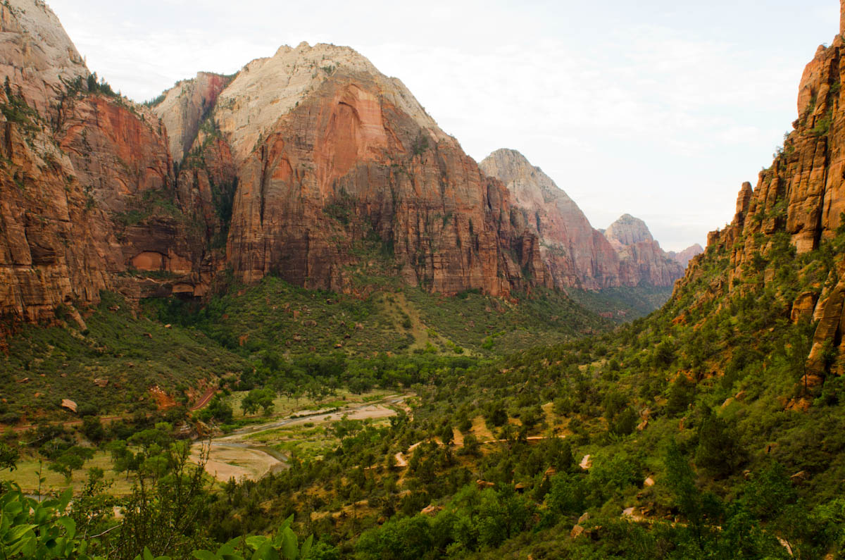
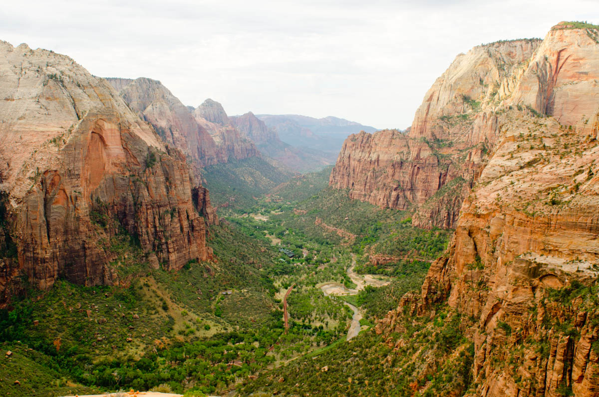
The trek continued upwards until finally there was no more mountain to climb and I was at the highest point, with the whole valley spread out below in both directions:
I soaked in the view and slowly ate a sandwich. Everyone in the world should have somewhere they can go where there is no sound but the gentle whistling of the wind and the echo of their own thoughts. It anchors sanity and cleanses the soul.
Eventually other hikers began to trickle in and I started the long descent back to the valley floor. I’d been up the canyon and down the canyon and still felt like there was more to see but I had a date with another natural wonder and, though I didn’t want to leave, I fired up the bike and climbed through the twisting passes and long tunnels to exit the park on the east side just as the rain began to fall.

